Log in
All resources
Create a design
40,209 Free Images of Engraved Maps
maps in the library of congress
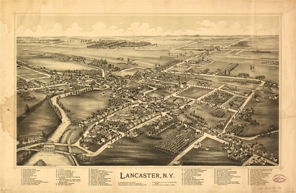
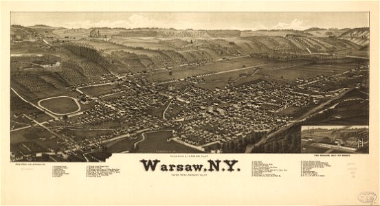
new york
l. r. burleigh
town maps by l. r. burleigh
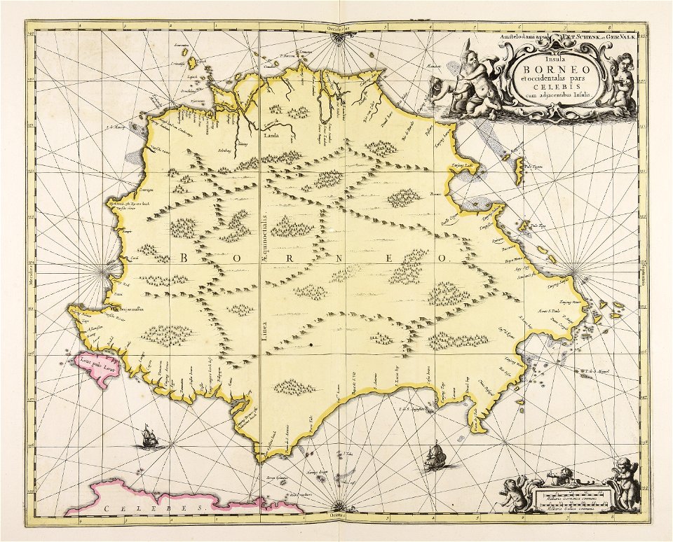
maps made in the 17th century
1887 maps of new york (state)
maps by pieter schenk (i)
gerard valck
atlantis magni tomus quartus (biblioteca comunale di trento)
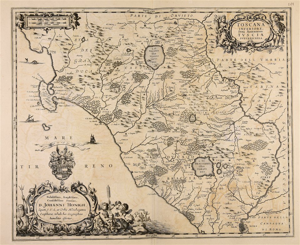
maps with cartouches
icones principum virorum
anthony van dyck
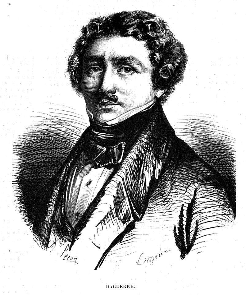
portraits of louis daguerre
1858
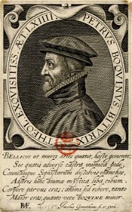
18th-century engraved portraits of men at bust length
1788 portraits
18th-century engraved oval portraits of men at half length
gérard edelinck
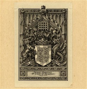
somerset (duke of beaufort) arms
duke of beaufort
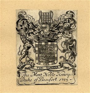
somerset (duke of beaufort) arms
duke of beaufort
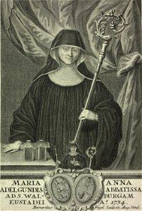
portraits of abbesses with croziers
bernhard vogel (engraver)
flemish 17th-century prints in the rijksmuseum amsterdam
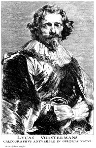
portraits of lucas vorsterman (i)
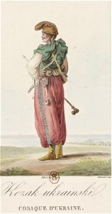
ukrainian cossacks in art
harem pants
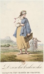
people with baskets in art
peasants from poland
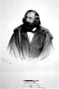
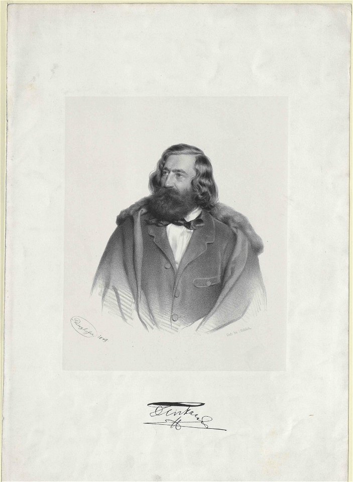
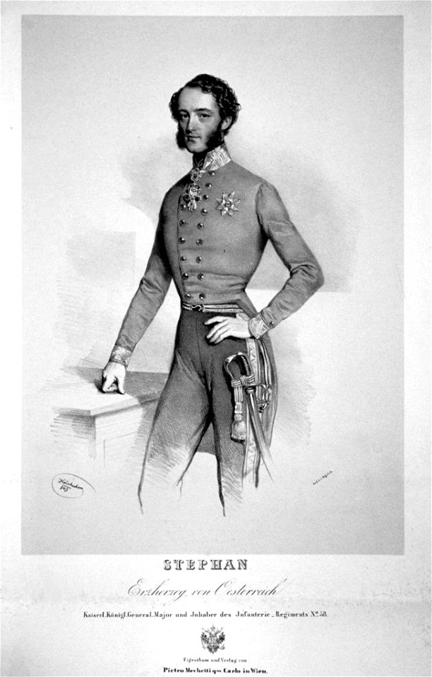
lithographs by august prinzhofer
male fur clothing
engraved portraits of men from france
jacques granthomme
lithographs by august prinzhofer
male fur clothing
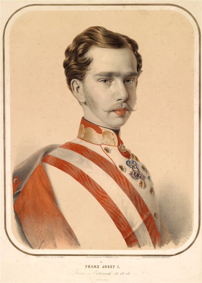
lithographs of franz joseph i of austria
1854 lithographs
el museo universal
1864
mezzotints
mahican
17th-century engraved oval portraits of men at bust length
matthäus merian
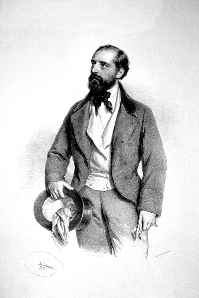
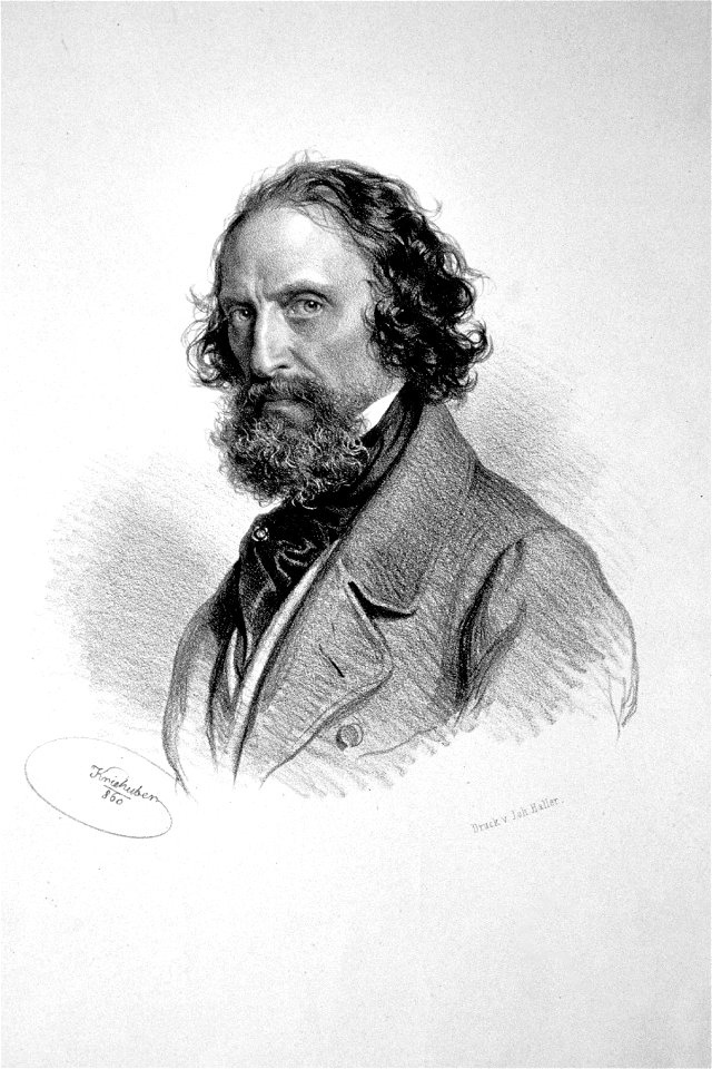
lithographs by josef kriehuber
1850s military uniforms
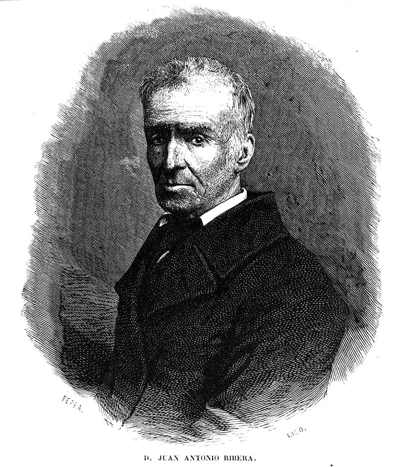
juan antonio ribera
1857
prints by josef kriehuber in the albertina
lithographs by josef kriehuber
19th-century self-portraits of men
men facing left in art
lithographs by josef kriehuber
military people of austria
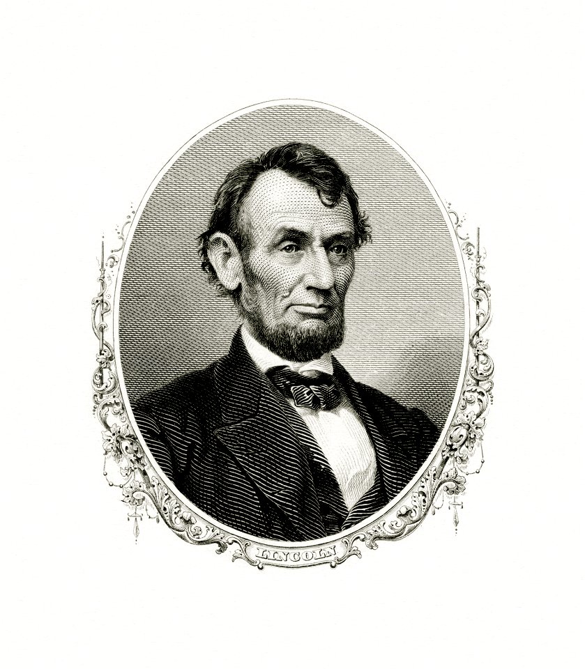
engravings of abraham lincoln
abraham lincoln
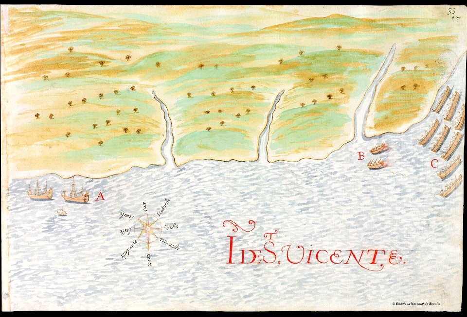
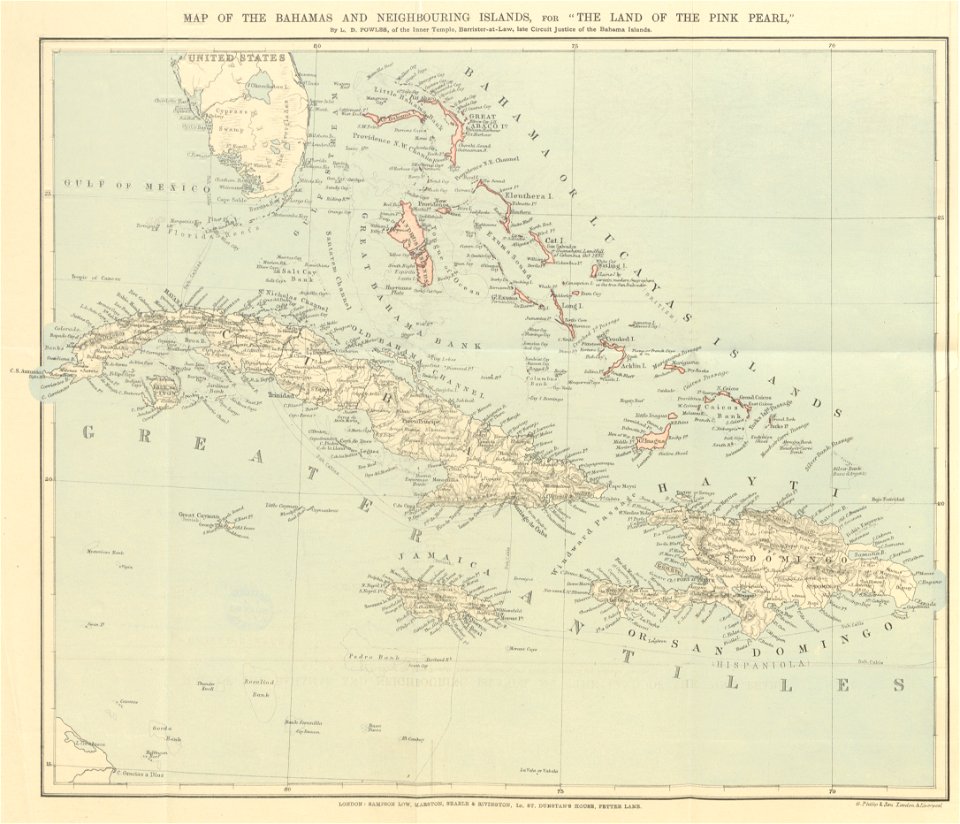
history of saint vincent and the grenadines
pictorial maps
erie county
new york
maps from the mechanical curator collection
the land of the pink pearl
erie county
new york
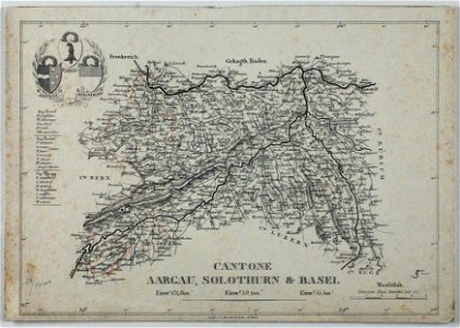
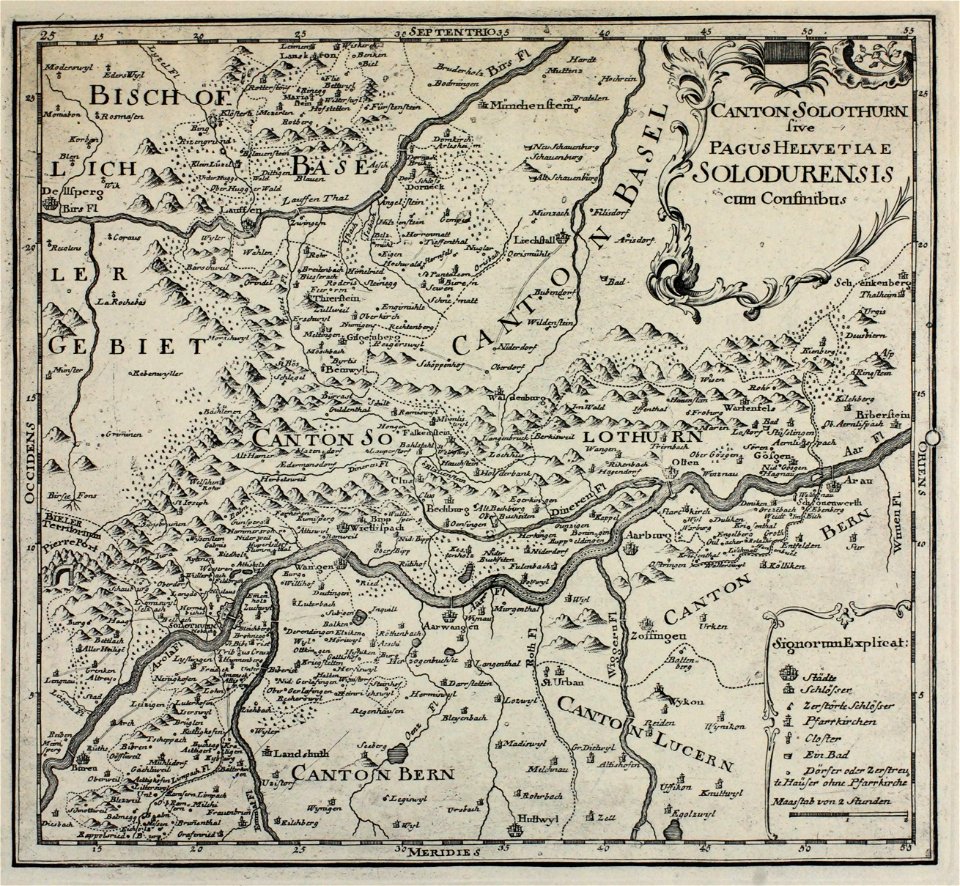
historical images of solothurn
carl durheim
maps from the mechanical curator collection
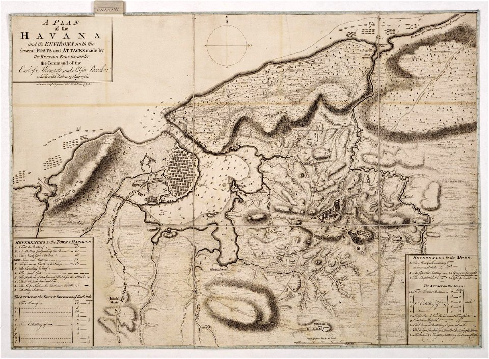
william peel (royal navy officer)
morro castle (havana)
london
atlas van der hagen (volume 3)
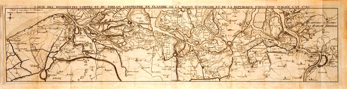
maps with cartouches
prints from dankaerts historis at the peace palace library
hendrik hondius (i)
l'illustration
1853
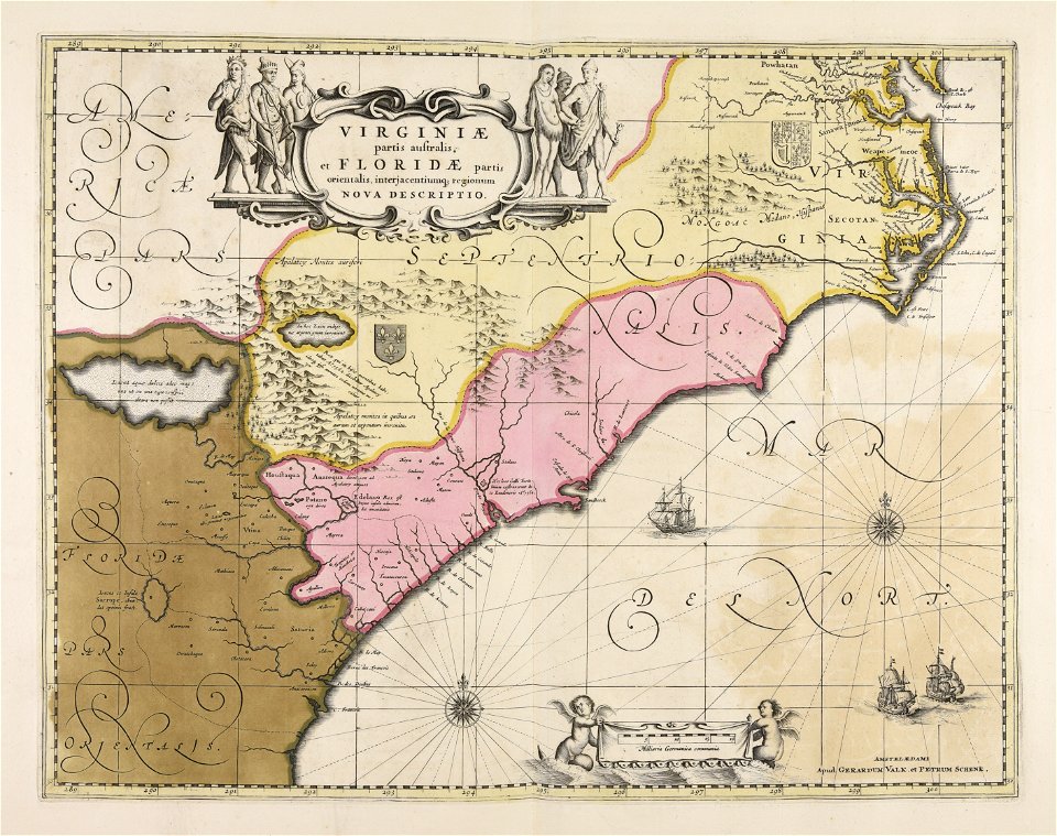
maps made in the 17th century
gerard valck
new york
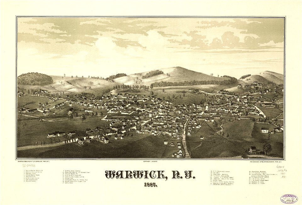
warwick
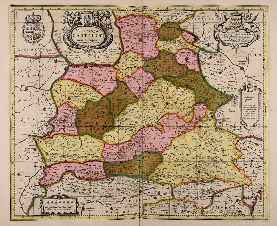
maps made in the 17th century
gerard valck
new york
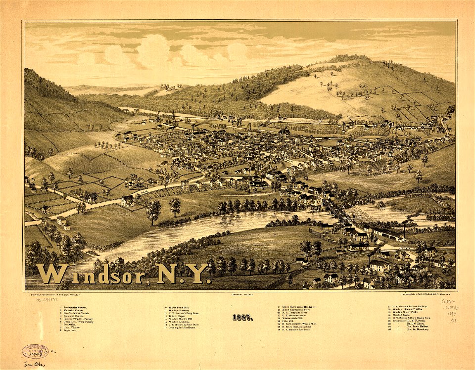
windsor
maps made in the 17th century
gerard valck
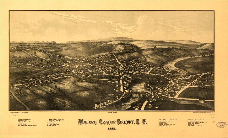
new york
walden
maps made in the 17th century
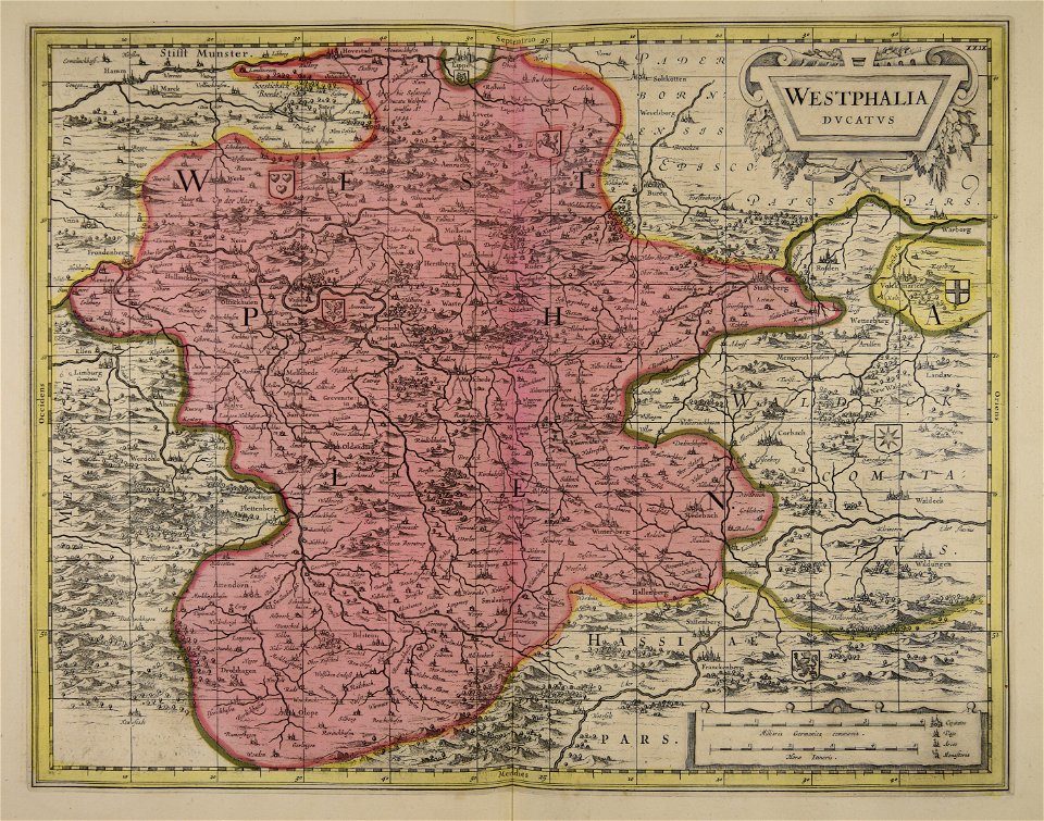
old maps of westphalia
old maps of new york (state)
new york
new york
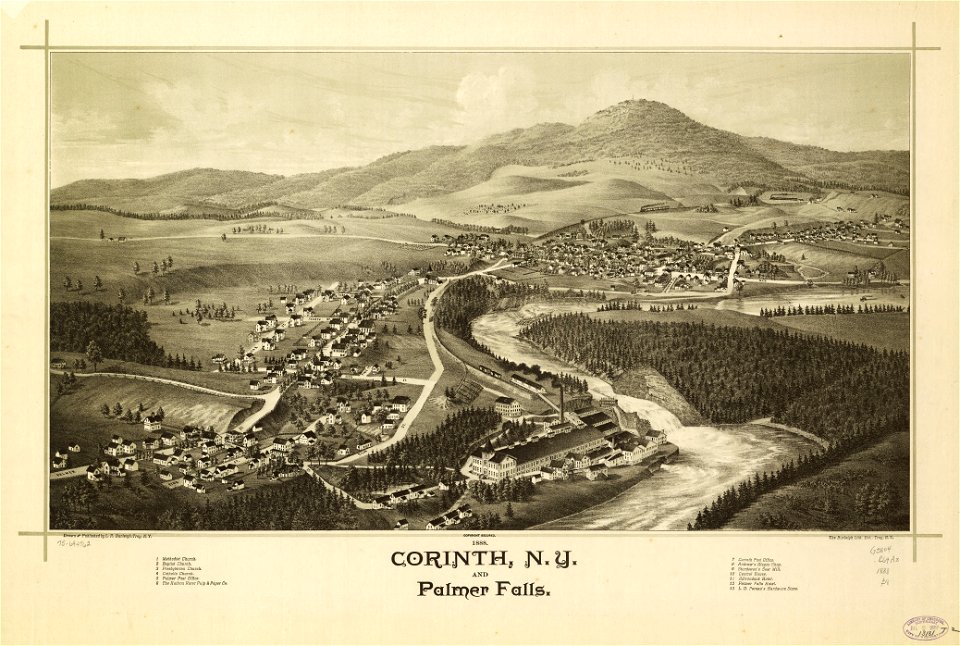
corinth
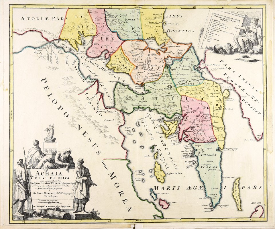
johann baptist homann
old maps of greece
maps with cartouches
copper engraving
maps with cartouches
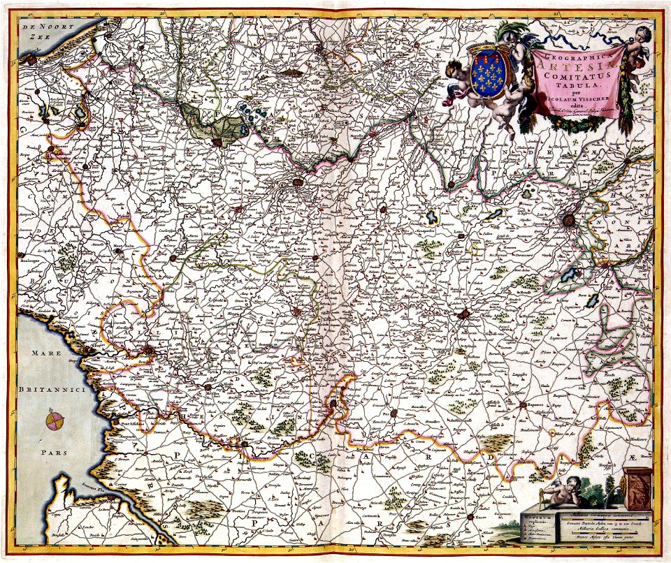
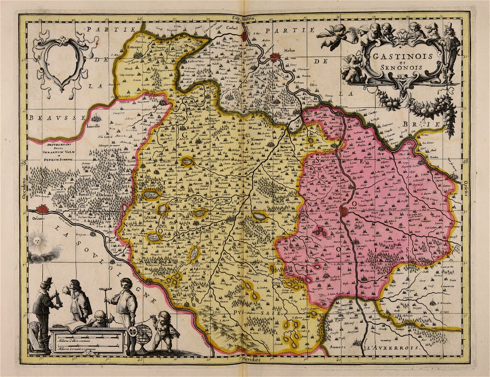
old maps of france
atlas van der hagen (volume 4)
maps with cartouches
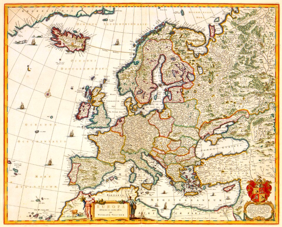
maps by nicolaes visscher i
old maps of upper austria
new york
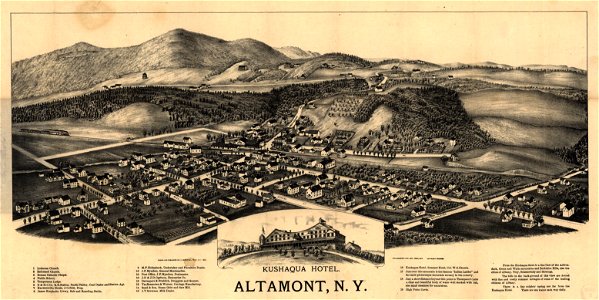
altamont
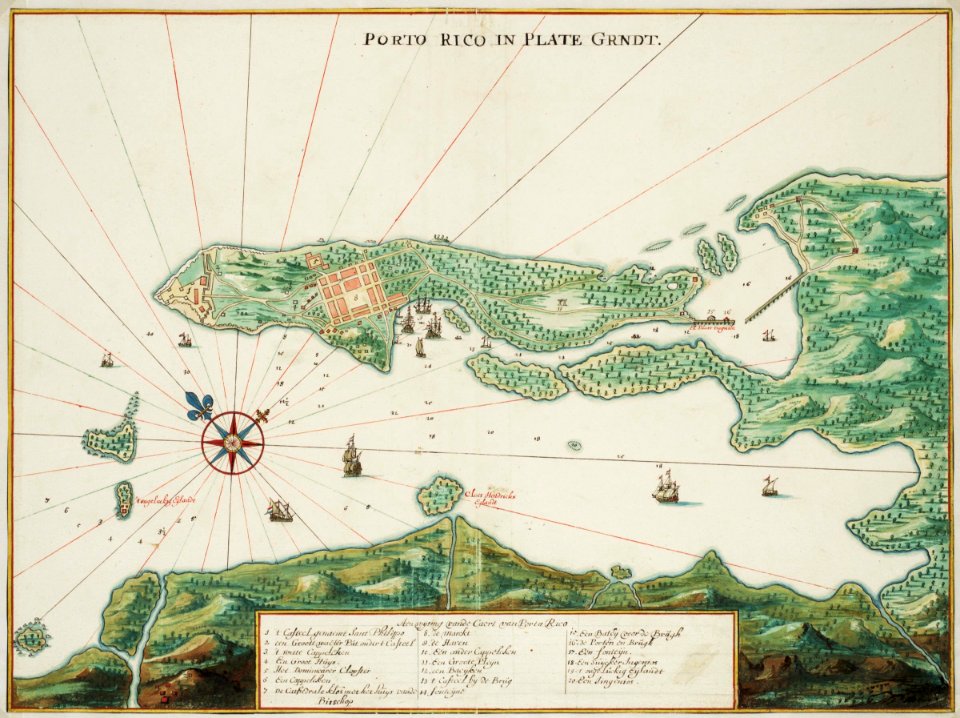
puerto rico
1665
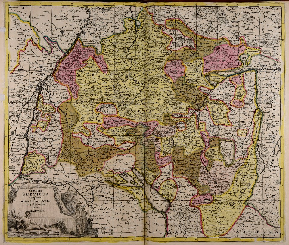
maps made in the 18th century
gerard valck
maps by frederick de wit
maps with cartouches
zhangye
lanzhou
fonds ancely - bibliothèque municipale de toulouse - maps
frédéric-auguste laguillermie
fonds ancely - bibliothèque municipale de toulouse - maps
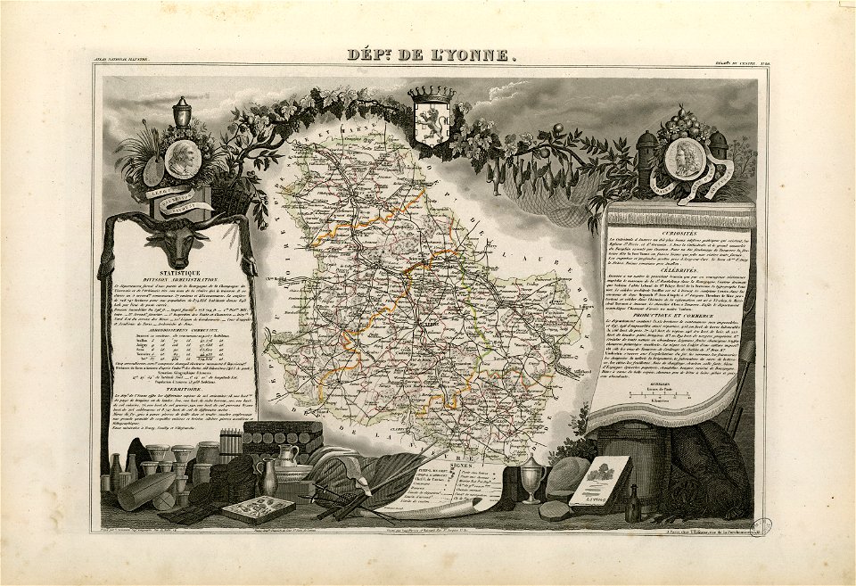
victor levasseur - maps of france
fonds ancely - bibliothèque municipale de toulouse - maps
jean bart
important cultural property of japan in tokyo
maps in the national archives of japan
maps by jacques-nicolas bellin
jacques-nicolas bellin
atlantis magni tomus primus (biblioteca comunale di trento)
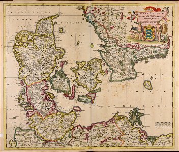
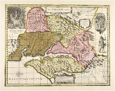
17th-century maps of schleswig-holstein
new york
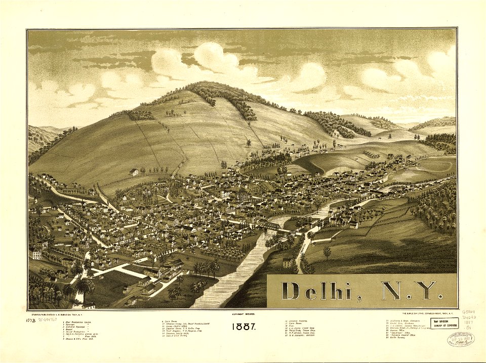
delhi
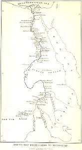
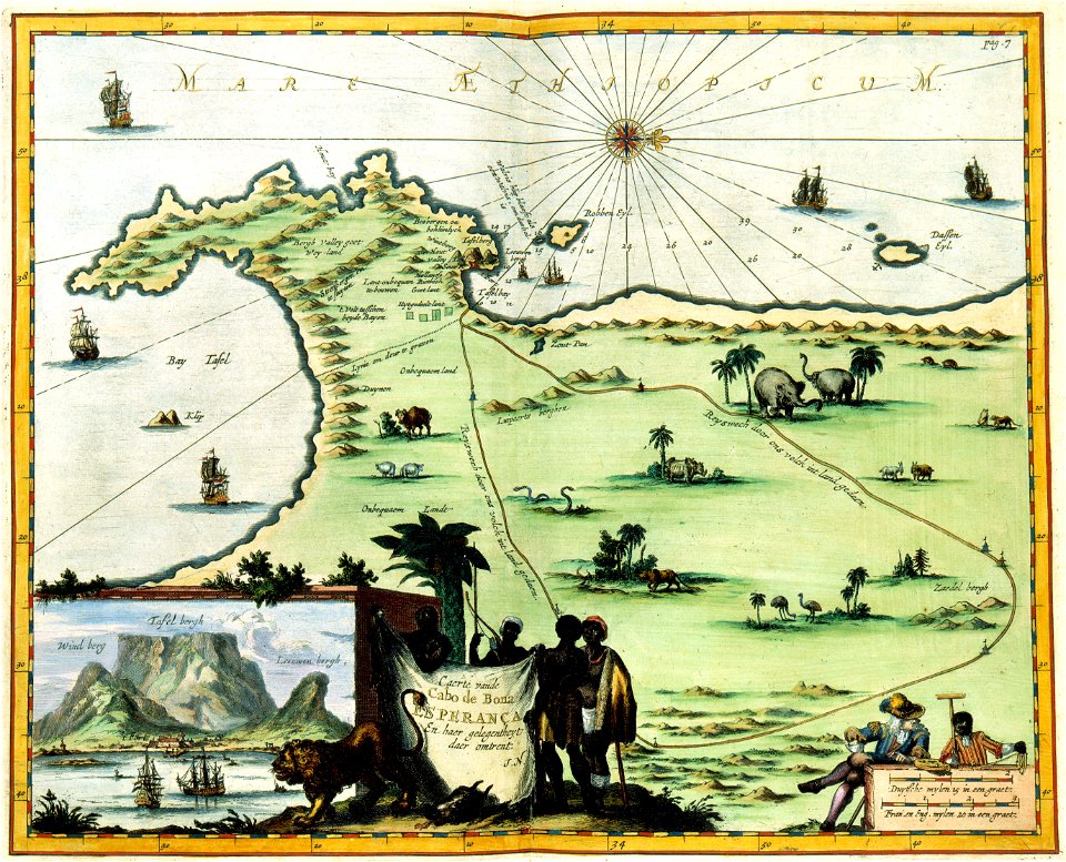
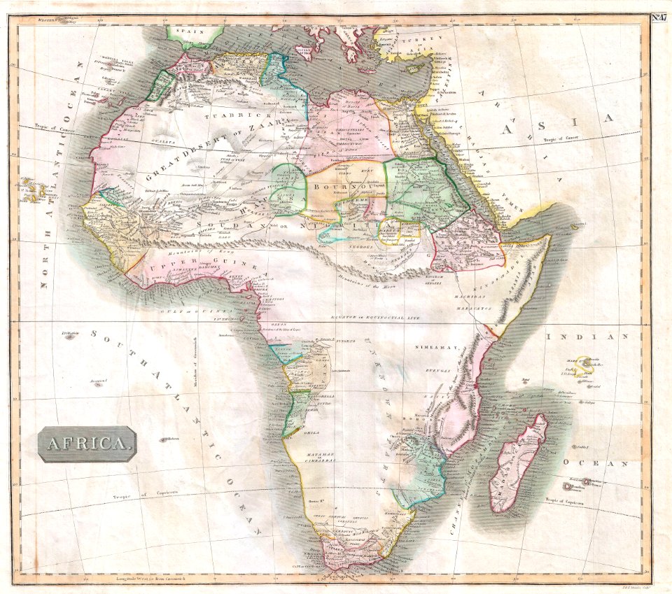
european exploration of africa
maps by john thomson
maps in the library of congress
new york
maps made in the 17th century
gerard valck
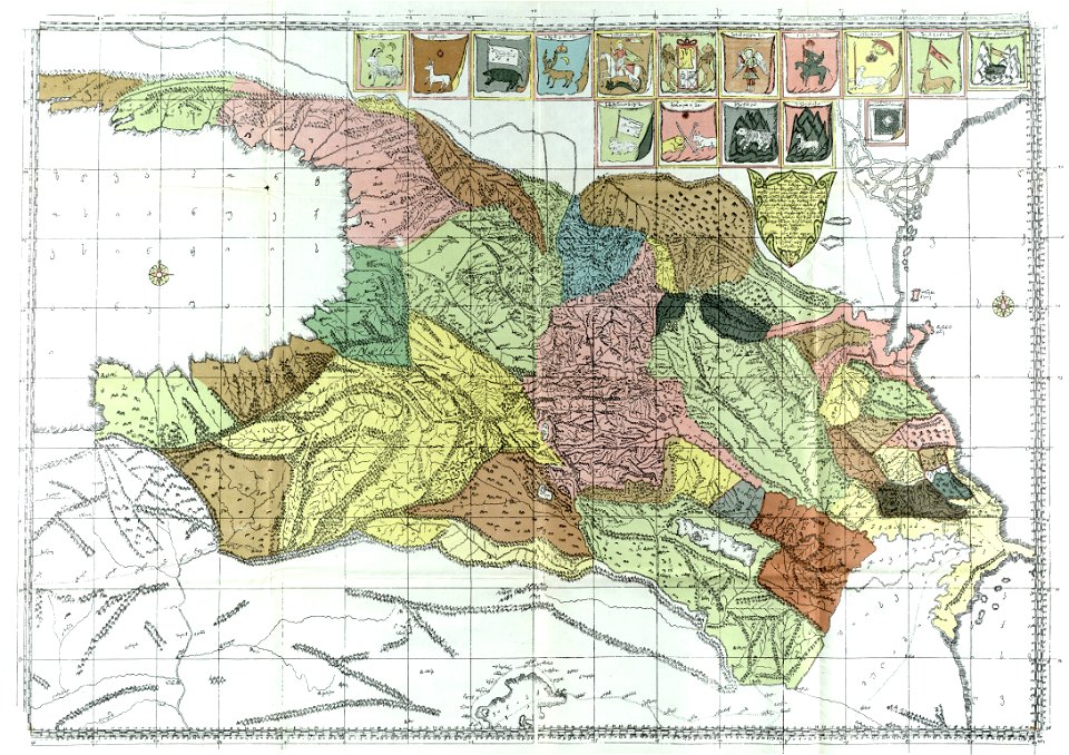
description of kingdom of georgia
its habits and canons
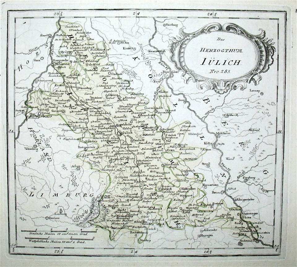
old maps of north rhine-westphalia
netherlands
maps made in the 17th century
maps by pieter schenk (i)
old maps of new york (state)
new york
hand-drawn maps and views of world war i battlefields by h.m.
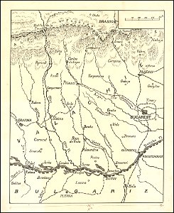
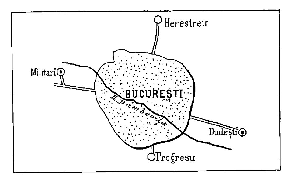
old maps of wallachia
maps made in the 17th century
gerard valck
new york
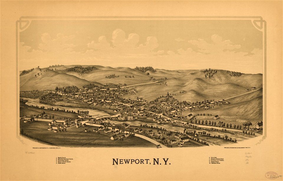
newport
maps in the library of congress
new york
maps made in the 17th century
gerard valck
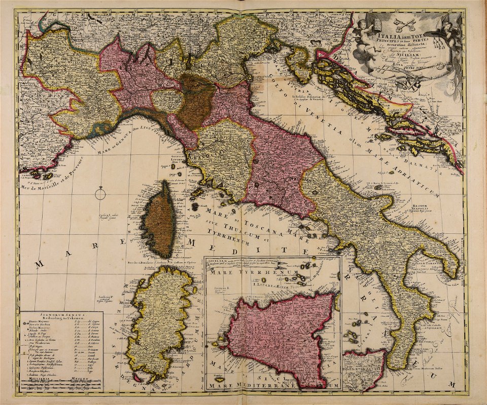
maps made in the 18th century
18th-century maps of italy
bucharest
military
maps in the library of congress
new york
maps in the library of congress
new york
maps by brockhaus
1937 in paris
maps by brockhaus
1937 in paris
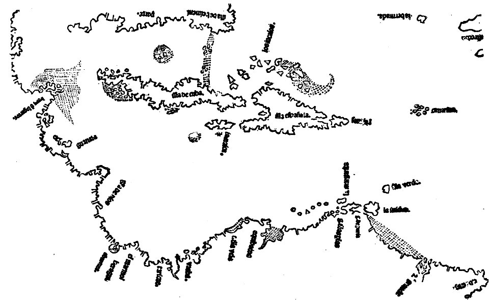
images from the john carter brown library
1500s maps of the caribbean
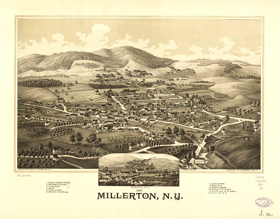
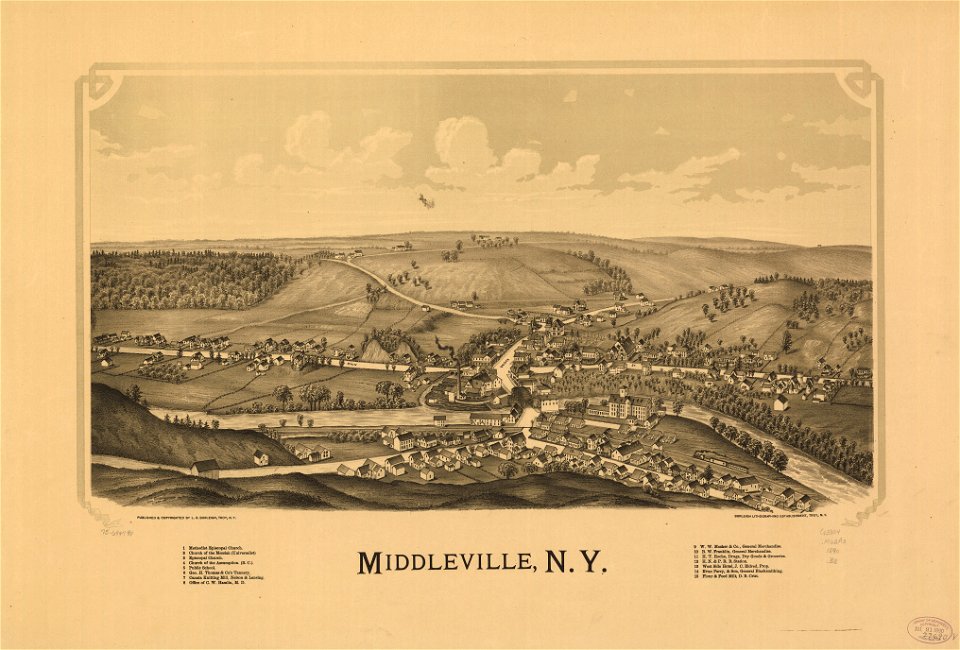
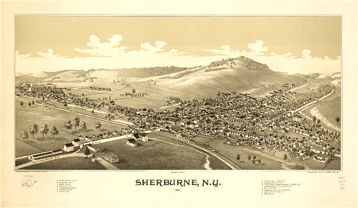
sherburne
new york
new york
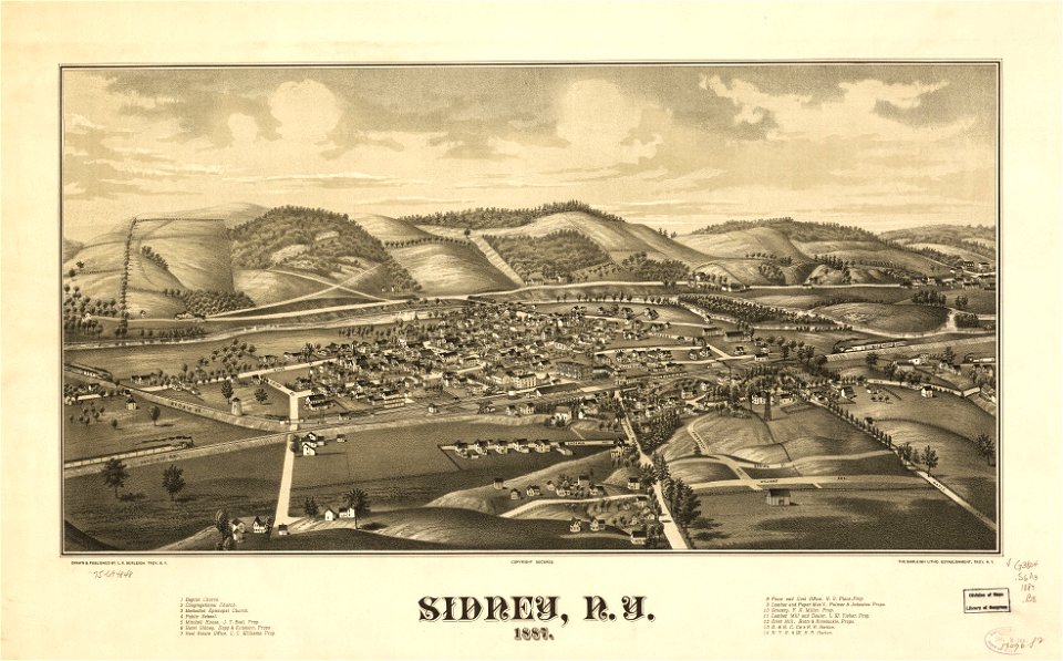
sidney
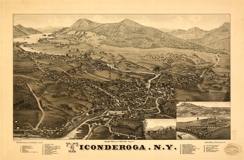
ticonderoga
new york
maps made in the 17th century
jan janssonius
maps made in the 17th century
gerard valck
charts and maps of the royal museums greenwich
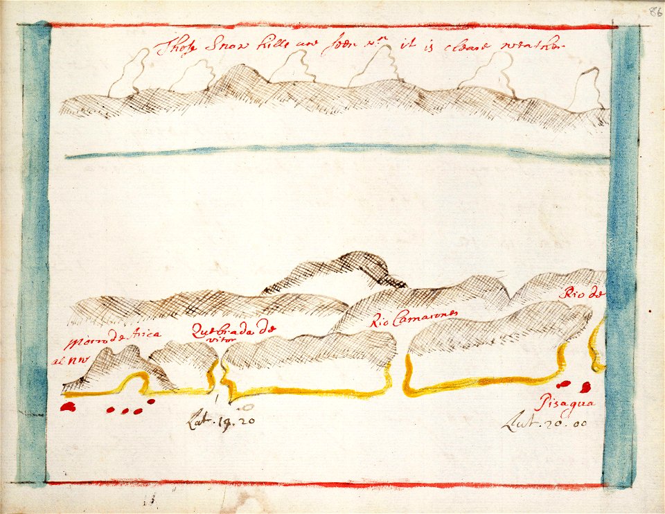
pisagua
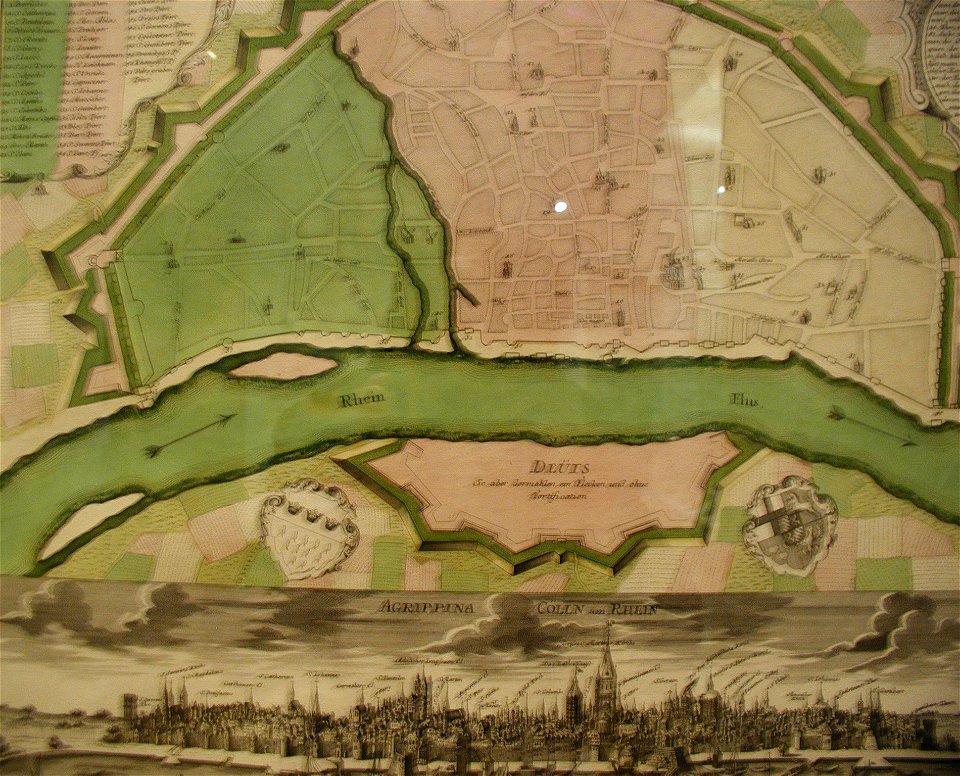
parts of old maps of cologne
maps by matthäus seutter
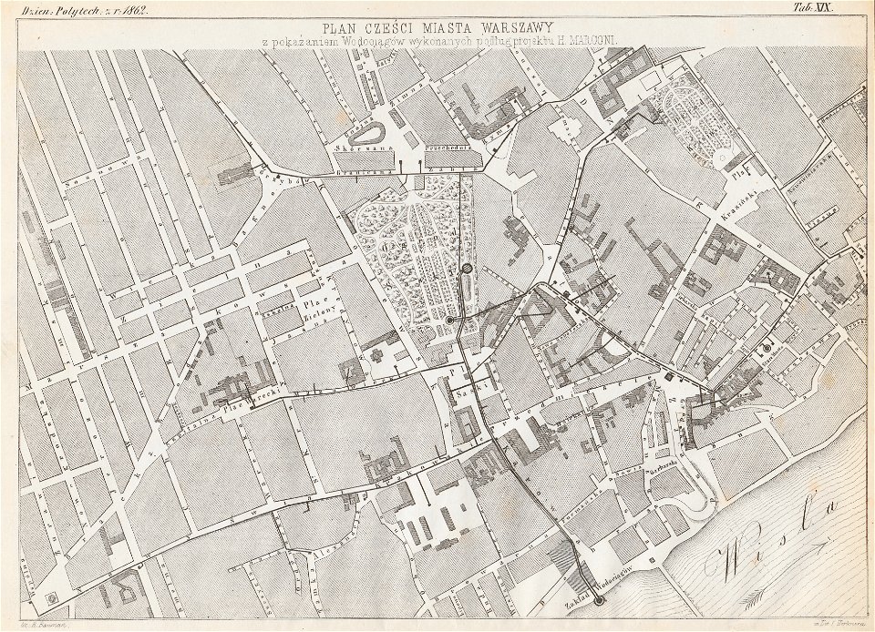
historical maps of warsaw
henryk marconi
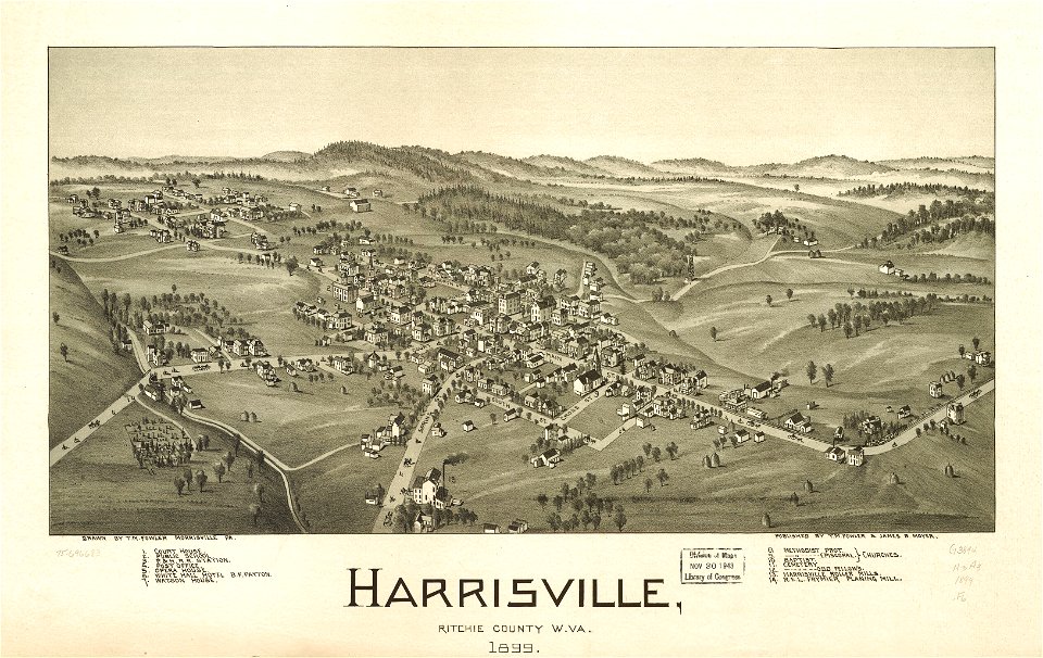
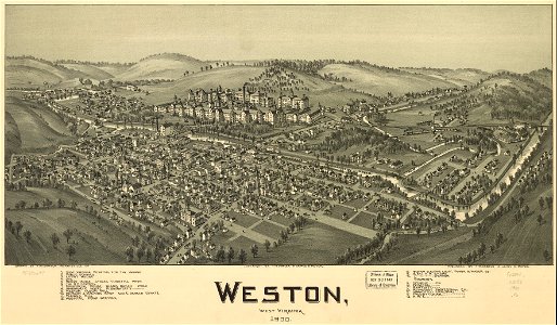
west virginia
harrisville
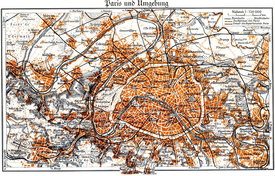
bird's eye view maps of paris
pictorial maps of paris
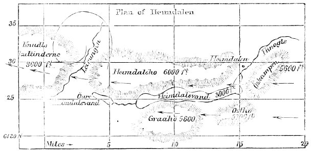
popular science monthly illustrations/volume 11
1877 maps
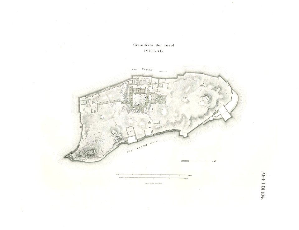
lepsius-projekt - maps
floor plans of philae
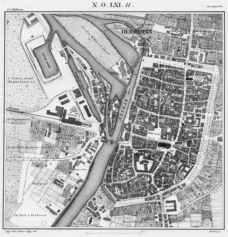
württembergische flurkarte 1:2.500
heilbronn
prints from the peace palace library
old maps of zeeland
new york
warsaw
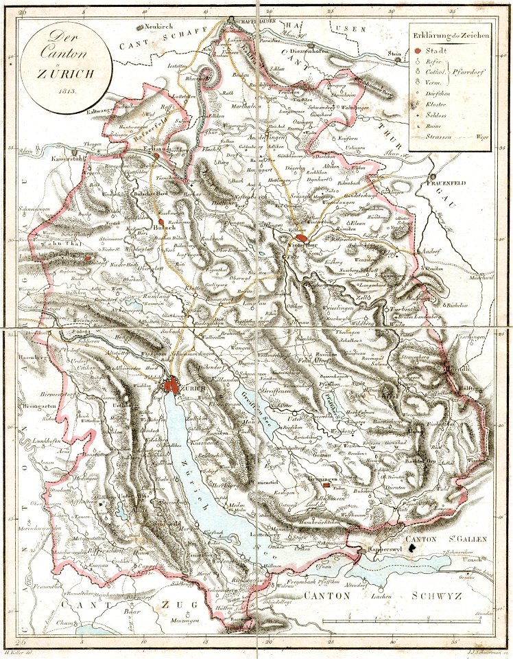
old maps of the canton of zürich
heinrich keller
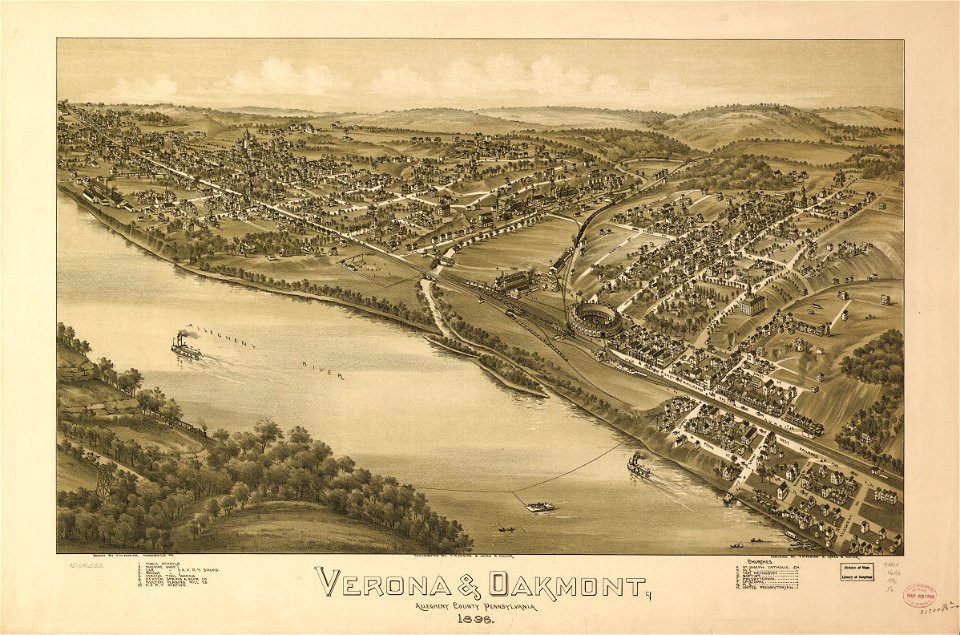
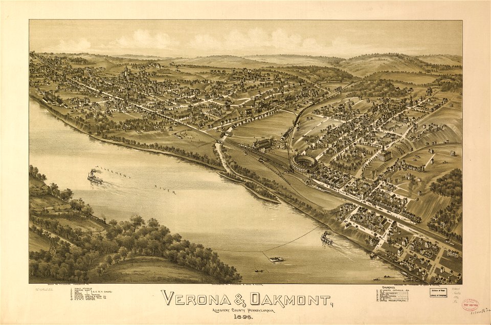
pennsylvania
verona
pennsylvania
verona
west virginia
weston
west virginia
weston
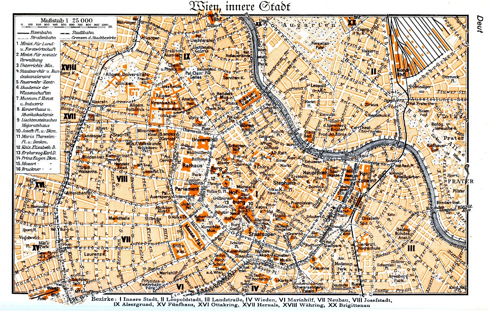
maps by brockhaus
1937 in vienna
historical images of solothurn
old maps of switzerland
5301 - 5400 of 40,209
Next page
/ 403